Jun 25th 2026
AUS Drone Laws Explained for Commercial Operators
AUS drone laws for commercial operators: learn CASA rules, registration, RePL/ReOC, excluded category limits and flight planning essentials.
AUS drone laws for commercial operators: learn CASA rules, registration, RePL/ReOC, excluded category limits and flight planning essentials.
Choose an aerial survey drone with confidence. Learn how sensors, RTK/PPK, GCPs and flight planning affect survey accuracy.
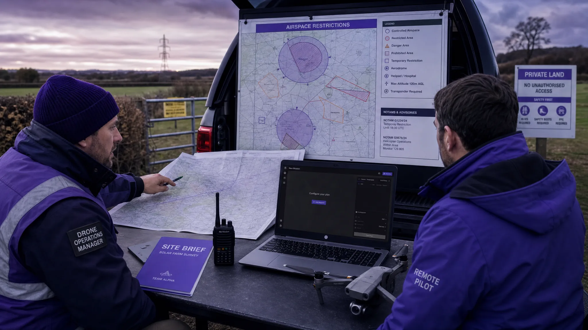
Learn how to use a drone flight restrictions map safely, check FRZs and NOTAMs, plan compliant UK operations, and avoid costly mistakes.
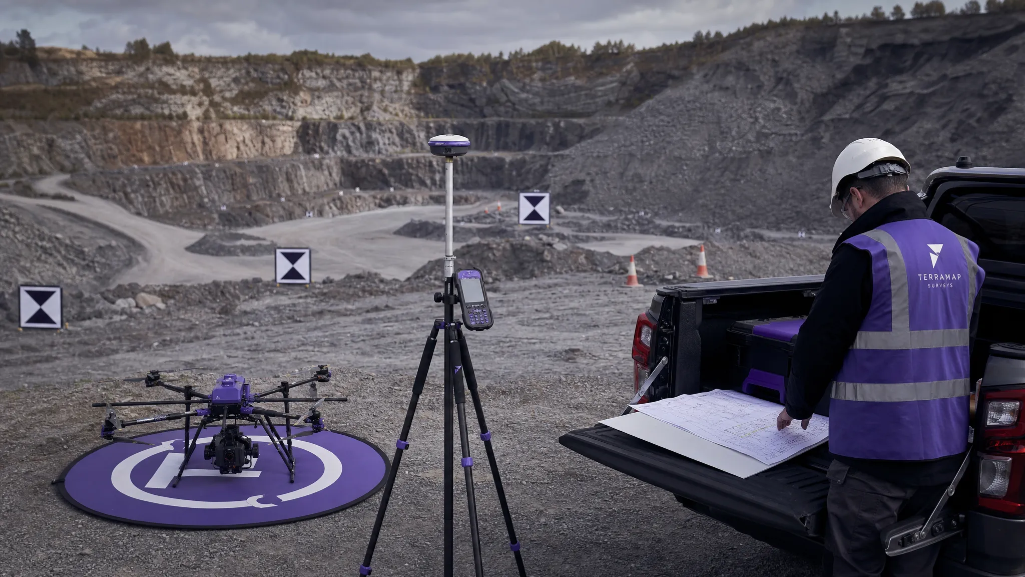
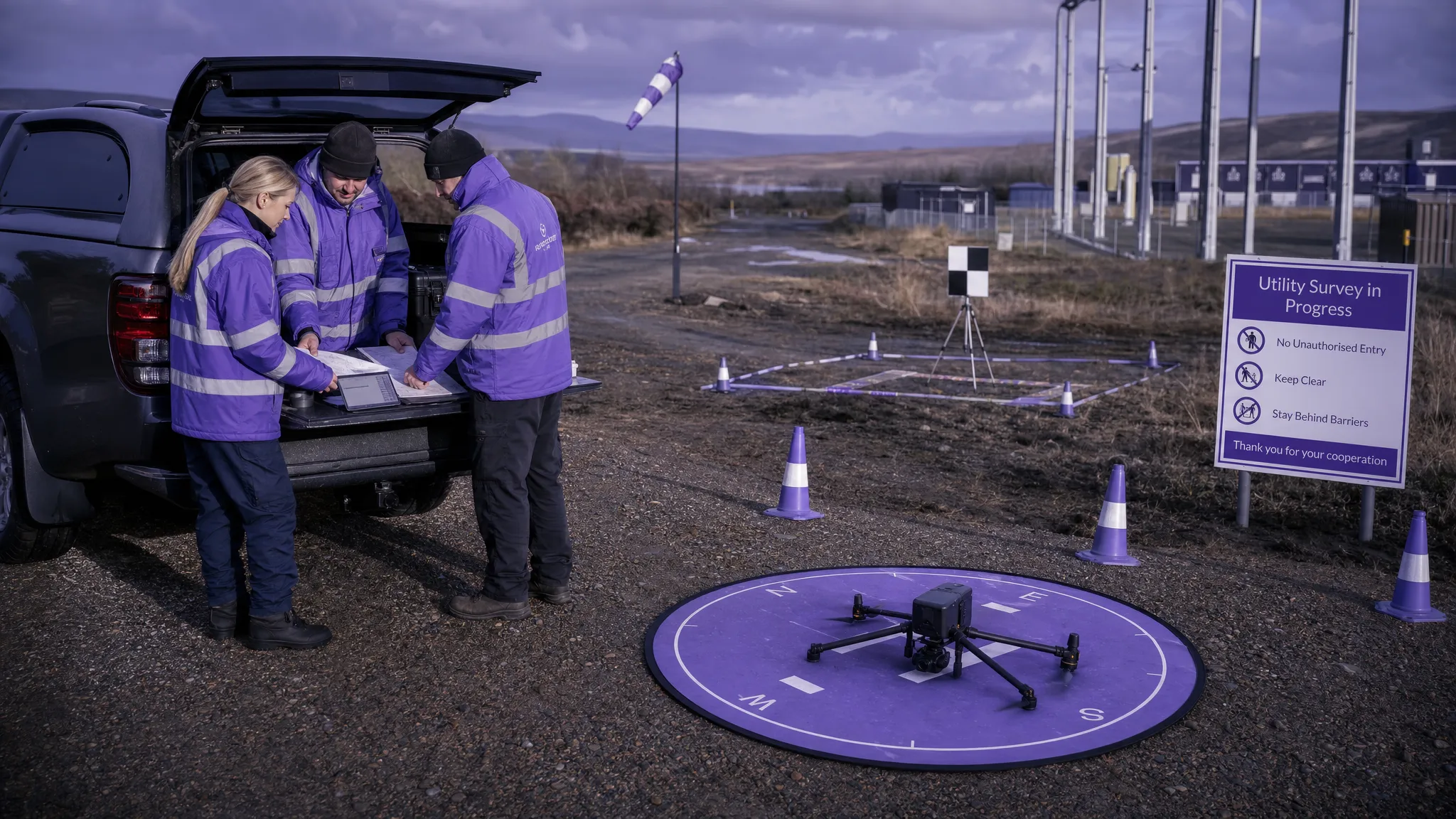
Plan a safer UAV survey with practical steps for site checks, risk assessment, flight planning, crew briefings and post-flight records.
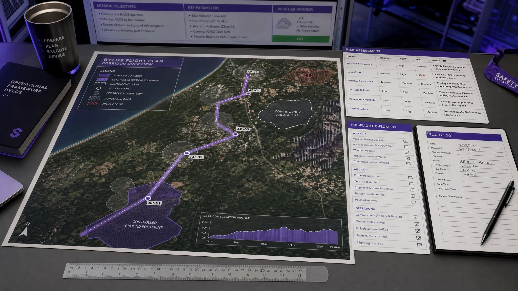
Learn what GCV means in UK SORA and how to use it for BVLOS planning, ground risk evidence, containment and safer operations.
Use this drone airspace map guide to read UK airspace layers, spot restrictions, check NOTAMs and plan safer compliant flights.
Learn how UAV software improves flight planning, compliance, risk assessments, logs and audit readiness for safer, more efficient drone ops.
Master the digital aeronautical flight information file (DAFIF). Get key standards, drone flight planning data, and compliance best practices.
Learn what to look for in drone management software, from flight planning and risk assessments to fleet, team, logging and reporting tools.
Compare the best drone flight planning software for commercial teams, from Dronedesk to mapping, DJI, airspace and fleet tools.